
Course Maps
Know Your Course
Interactive Course Maps
Review every section of your race before arriving. The Triathlon, Duathlon, and Aquabike share portions of the same course, so each map is shown once below with all available course views.
- 500 m Swim
- 15 mi Bike
- 3.1 mi Run
- 2 mi Run 1
- 15 mi Bike
- 3.1 mi Run 2
- 500 m Swim
- 15 mi Bike
How to Use the Interactive Maps
Swim Course
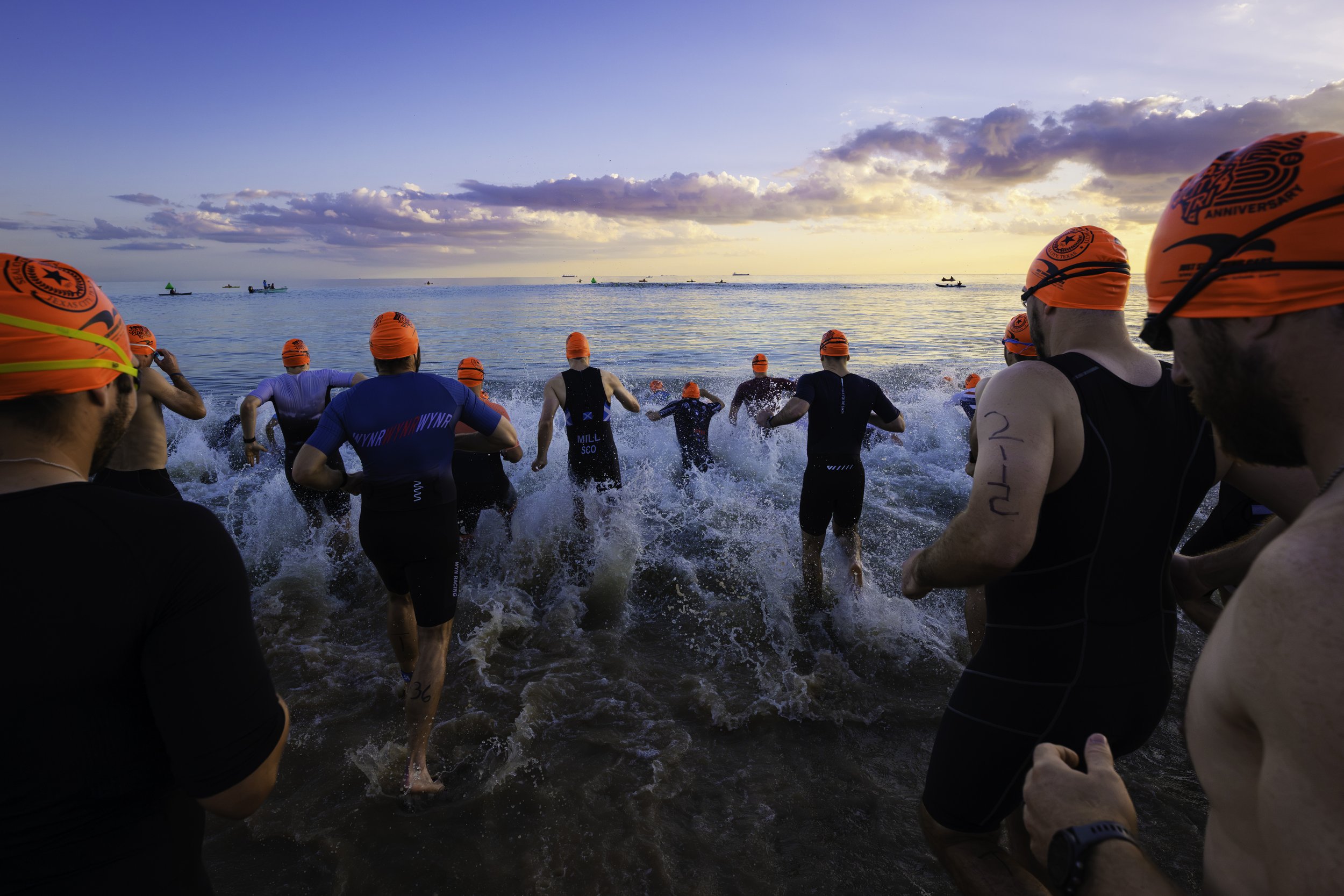
Used by Triathlon and Aquabike athletes. The swim begins with a running beach start. The water is approximately shin- to waist-deep on the way to the first buoy, approximately 6–7 feet deep from buoy to buoy, and becomes progressively shallower as athletes return to shore. Open the map menu to also view the route from the swim exit to transition.
Bike Course
Used by Triathlon, Duathlon, and Aquabike athletes. This is a fast, mostly flat and mostly closed course along the Texas City Dike and surrounding roads. Athletes must remain alert, follow all course markings, and obey police officers, volunteers, and race officials.
Run Courses
The run course is fully closed to vehicle traffic and features water views, park views, and a final mile on a groomed crushed-surface trail. The 3.1-mile route is used for the Triathlon run and the Duathlon’s final run. Open the map menu to select the Duathlon’s separate two-mile opening run.